Localities
Kuusiku 7017 borehole
Show additional data in Estonian Geocollections Portal| ID | 343 |
|---|
| Name | Kuusiku 7017 borehole |
|---|
| Number | 7017 |
|---|
| Loc. type | borehole (section) |
|---|
| Country | Estonia |
|---|
| County | Harju County |
|---|
| Parish | Raasiku |
|---|
| Settlement | Kaunissaare |
|---|
| Latitude (dec. deg.) | 59.309919 |
|---|
| Longitude (dec. deg.) | 25.341469 |
|---|
| Location remarks | Kehrast u 2,5 km lõunas. Kuusiku (talu, kõrts) asub Kaunissaare veehoidla läänetipus Jägala-Pirita kanali suubumiskohal veehoidlasse, Kehra-Alavere mnt ääres. Puuraugu täpset asukohta ei tea |
|---|
| Record changed | 2018-03-22 15:34:12 |
|---|
|
|
References (1)
Nõlvak, J., Grahn, Y. 1993. Ordovician chitinozoan zones from Baltoscandia. Review of Palaeobotany and Palynology 79, 245-269. | DOI | DETAILS
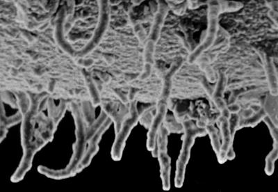
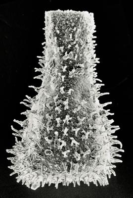
Photos
Tooltip: to show larger image hold Ctrl-key when clicking on image.