Localities
Põõsaspea cliff, outcrop of Kinnekulle bentonite
Show additional data in Estonian Geocollections Portal| ID | 14883 |
|---|
| Name | Põõsaspea cliff, outcrop of Kinnekulle bentonite |
|---|
| Loc. type | outcrop |
|---|
| Country | Estonia |
|---|
| County | Lääne County |
|---|
| Parish | Noarootsi |
|---|
| Settlement | Spithami |
|---|
| Latitude (dec. deg.) | 59.224264 |
|---|
| Longitude (dec. deg.) | 23.527978 |
|---|
| Coordinate system | L-EST |
|---|
| X (m, L-EST 97) | 6565191 |
|---|
| Y (m, L-EST 97) | 473047 |
|---|
| Coord. precision | 1-10 m |
|---|
| Coord. method | Est Land Board map server |
|---|
| Coord. agent | Hints, Olle |
|---|
| Parent locality | Põõsaspea pank |
|---|
| Location remarks | rannikuäärse metsatuka alguses (N-S suunal) |
|---|
| Stratigraphy top | Keila Stage |
|---|
| Stratigraphy base | Jõhvi Substage |
|---|
| Remarks | NB! see ei ole üldine Põõsaspea panga kirje, vaid täpne asukoht (O. Hints, 2010-08-31). |
|---|
| Record inserted | 2008-07-13 22:43:20 |
|---|
| Record changed | 2012-06-13 12:05:17 |
|---|
|
|
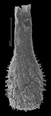
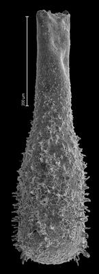
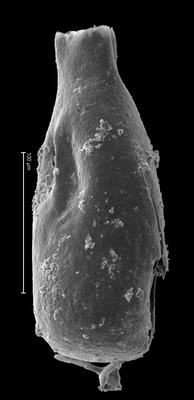
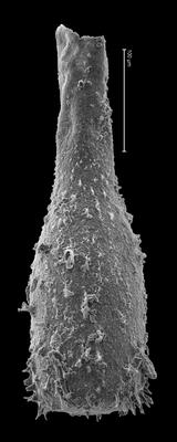
Raw data (1 species, 2 samples)
locality	depth	depth_interval	sample_number	Angochitina multiplex
Põõsaspea cliff, outcrop of Kinnekulle bentonite	0.90	0.86	P.27	1
Põõsaspea cliff, outcrop of Kinnekulle bentonite	0.94	0.90	P.26	1
| locality | depth | depth_interval | sample_number | Angochitina multiplex |
|---|
| Põõsaspea cliff, outcrop of Kinnekulle bentonite | 0.90 | 0.86 | P.27 | 1 |
| Põõsaspea cliff, outcrop of Kinnekulle bentonite | 0.94 | 0.90 | P.26 | 1 |
Show table
Range chart (autogenerated)
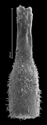
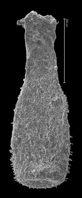
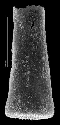
Photos
