Localities
Mäekalda outcrop
Show additional data in Estonian Geocollections Portal| ID | 10170 |
|---|
| Name | Mäekalda outcrop |
|---|
| Loc. type | outcrop |
|---|
| Country | Estonia |
|---|
| County | Harju County |
|---|
| Parish | TALLINN |
|---|
| Latitude (dec. deg.) | 59.432266 |
|---|
| Longitude (dec. deg.) | 24.784122 |
|---|
| Coord. precision | 10-100 m |
|---|
| Coord. method | Est Land Board map server |
|---|
| Coord. agent | Aaloe, Aasa |
|---|
| Location remarks | Tallinn, Gonsiori tänava ots |
|---|
| Stratigraphy top | Aseri Formation |
|---|
| Stratigraphy base | Pakerort Stage |
|---|
| Remarks | Field Meeting, 1990. Loc 1 : 4. |
|---|
| Record changed | 2018-03-12 14:14:11 |
|---|
|
|
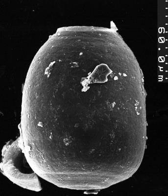
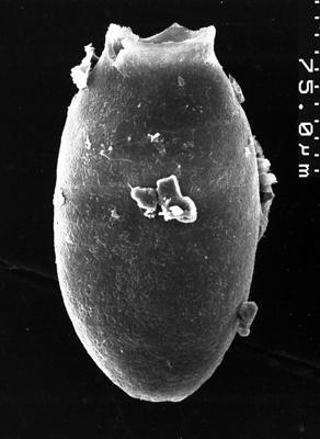
Photos
Tooltip: to show larger image hold Ctrl-key when clicking on image.